

After returning from our first vacation out west in many years, and watching hundreds of YouTube videos of families traveling through mountains, canyons and national forests, I decided it was time to for us to join the overlanding craze. I spent a large fortune on a highly modified Jeep Wrangler Rubicon, guaranteed to enable us to cross the highest mountains, lowest valleys and follow nuclear submarines under the polar ice cap, and a Tortoiseshell Expedition trailer to haul our camping gear. Another small fortune was used to purchase all the needed supplies. We bought sleeping bags that would keep us warm down to -50° Fahrenheit. Enough food and water to supply the entire population of Southeast Utah for six months. I bought enough tools to build a Boeing 737 from scratch. Communication gear is essential, so I bought a satellite phone with unlimited data and connectivity to all eight, or nine, planets in our solar system. We would never lose contact with civilization.
After readying our Jeep for the trip of a lifetime, we needed to choose a direction and a destination. After much debate, we chose to head to the wilds of Michigan to visit friends. I spent several hours mapping our route. We wanted our adventure to follow as closely as possible the trips we had seen in the Southwest. I purchased the latest software from several different sources. GAIA GPS, Trails Offroad, and The Official Top-Secret Maps of the CIA. I also found my old paper atlas, published in 1952. It never hurts to have physical copies on hand.
I had a bit of trouble finding Forest Service roads through Will and Cook counties, so I decided we would travel along alleys whenever possible. The day arrived for our journey to begin. Within a few miles we came to our first obstacle. The DuPage River. I drove along the south bank searching for a place to ford the waterway. Our rig was met with a few blank stares from a foursome trying to tee off, but we carefully avoided the 14th green and the paved cart path. We passed under several bridges and finally found a place to cross the river. I was pleased to have spent the extra money on a snorkel as the water poured into our Jeep’s interior. My wife had warned me about removing the doors, but I didn’t listen.
Eight hours later, we found ourselves in the deep canyons of the Chicago Loop. We wound our way up and down potholes deep enough to swallow a Class A motorhome. We forged to the east and eventually came to another body of water. I checked all my resources for the name and size of this pond, but it was not listed on any of them. I asked one of the locals for info, and he told me it was called Lake Michigan. Aha! We were on the right track. We pulled onto the Maple Street beach and drove to the water’s edge. I got out and strained my eyes trying to spot land on the opposite side. No luck. The body of water stretched to the horizon. Though tempted to ford the lake here, and put the snorkel to an ultimate test, I decided to follow the shoreline in hopes of finding an easier crossing. Two days later we reached the Michigan border.
Fortunately, I was carrying ten extra RotoPaX 10 gallon containers of gas, and ten fifty pound tanks of propane, since I had no idea where I might find fuel in the back roads of Michigan. We had enough fuel to drive to Utah and back several times, but I would rather be extra prepared than run out of anything. We stopped for lunch at the bottom of an area of tall, sand dunes close to the lake. Now I could really test the Jeep’s ability to climb. I reduced the air pressure in the tires to ten pounds. I kicked the tires and decided to remove all the air. The 48 inch beadlock tires were guaranteed not to come off the rims, and I wanted the most traction possible.
A week later we reached the top of the dunes and turned north. I found three more paths to follow and carefully avoided the small patches of sand where I saw men trying to hit something with a metal club. I knew we would reach our destination eventually as long as I kept the lake within sight.
“You’re totally lost, right?” my wife asked a month into the trip.
“I think we’re still in Michigan,” I replied.
Actually, we were closer to the Arctic Circle than Michigan. I asked one of the locals, who was dressed in white fur and traveling the ice field on a sled pulled by a dozen huskies, for directions. He shook his head and pointed to the south. I avoided the penguins and seals as I did a 180 turn.
Only now, after giving up on the online maps, did I look at the old atlas. I sighed and explained we should have turned right before getting to Lake Superior. I let my wife drive while I navigated. She ignored my directions and we eventually made it to our friend’s home. They were surprised to see us, since we were suppose to have arrived six months earlier. We recouped for a week, restocked the Jeep, said our goodbyes and headed home.
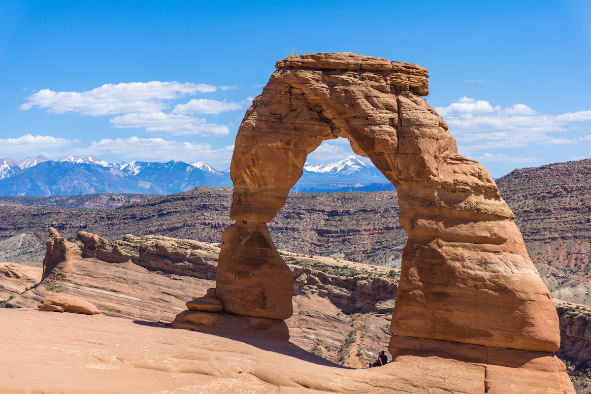
My wife frowned at me when we turned onto a scenic byway and passed the town of Cisco, Utah. By now I was down to the last RotoPaX and was trying to conserve gas. I followed the south bank of the Colorado River into Moab and found gas. I wanted to find a secluded camping site, so I took the Potash Road to the Shafer Trail and climbed the switchbacks. Even the twenty extra Quadratec lights failed to illuminate our path sufficiently, so I relied on my memory of the YouTube videos to navigate the tight turns. We decided to stop and make camp at the first level site we found. The sleeping bags kept us warm and toasty during the cool night.
I woke at sunrise and stepped outside. I stretched my arms over my head, yawned four times then peered into the distance. I glanced down and realized we had camped three feet from the edge of a thousand foot drop. I let my wife sleep as I moved the rig to a safer camping site. I decided to buy an updated atlas as soon as we got back to town.
Traveling with you is always an adventure.
Maybe next time I will let you drive.